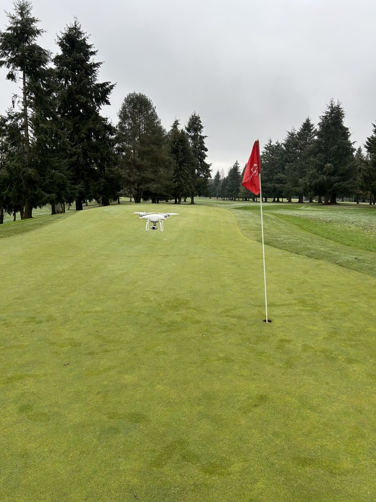
M2C uses DJ Phantom 4 Pro drone and a Matrice 350 to aerially map features with both photogrammetry and LIDAR.
We currently have two licensed pilots and use the drone for multiple project types.
We are also familiar with processing this data and understand the complications with both types of work.
We work closely with the client to explain the pros and cons of these methods and decide together what the best option is.
M2C uses the latest version of AutoCAD and Civil 3D to complete our survey calculations and drafting.
We understand the drafting process for both surveying and engineering applications and provide our clients with clear and concise finished maps.